
When you report to hflink.net/maps for the first time – regardless of the software used – you (or rather, your station) will appear on the map somewhere in the Labrador Sea, south of Greenland.
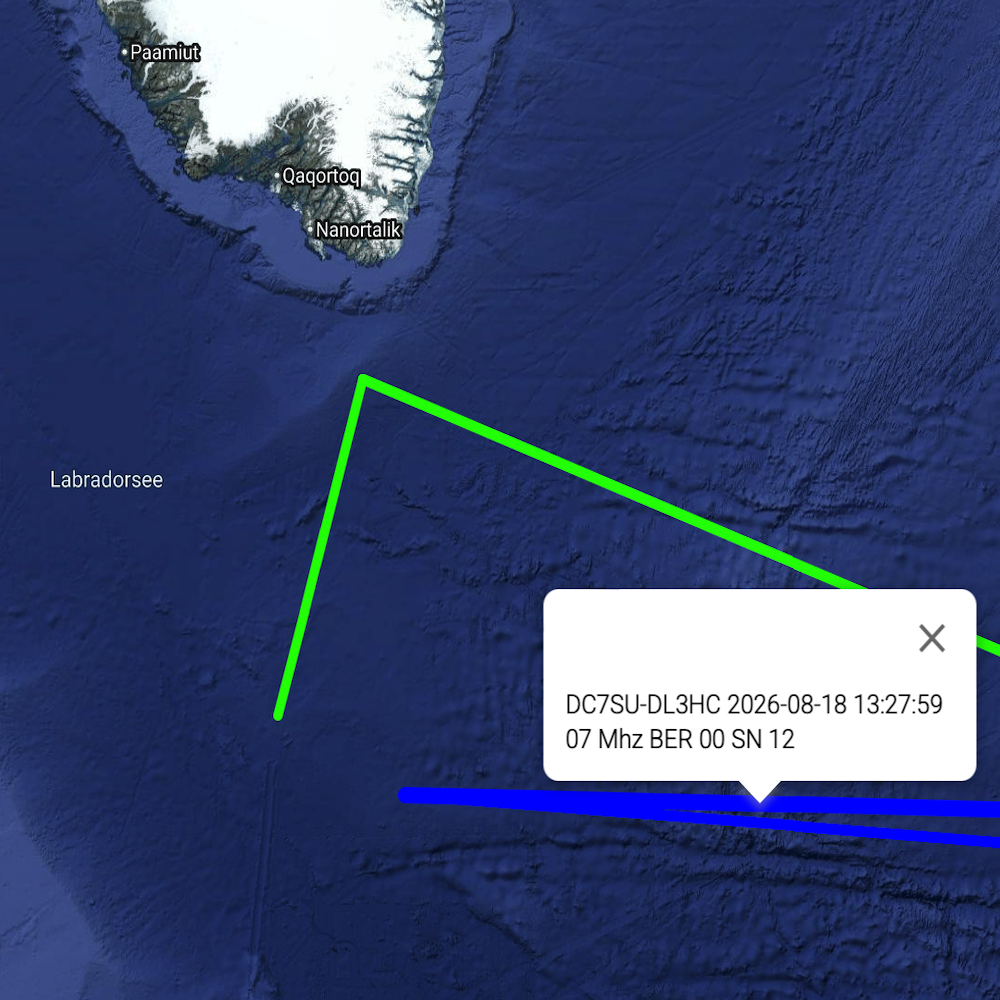
This is because hflink.net does not import location data from the specific program; instead, you have to enter it into hflink.net yourself.
I would like to show you how to do this — both on a desktop, and on a mobile device.
I am assuming that you have already registered with hflink.net and have an account.
Desktop-View
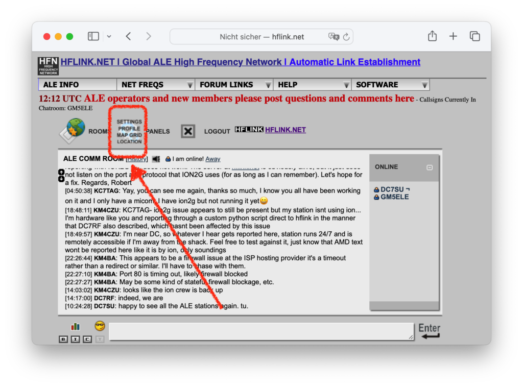
First, go to the landing page hflink.net, where you will see a sort of chat window. Click the “Panels” icon above that window:
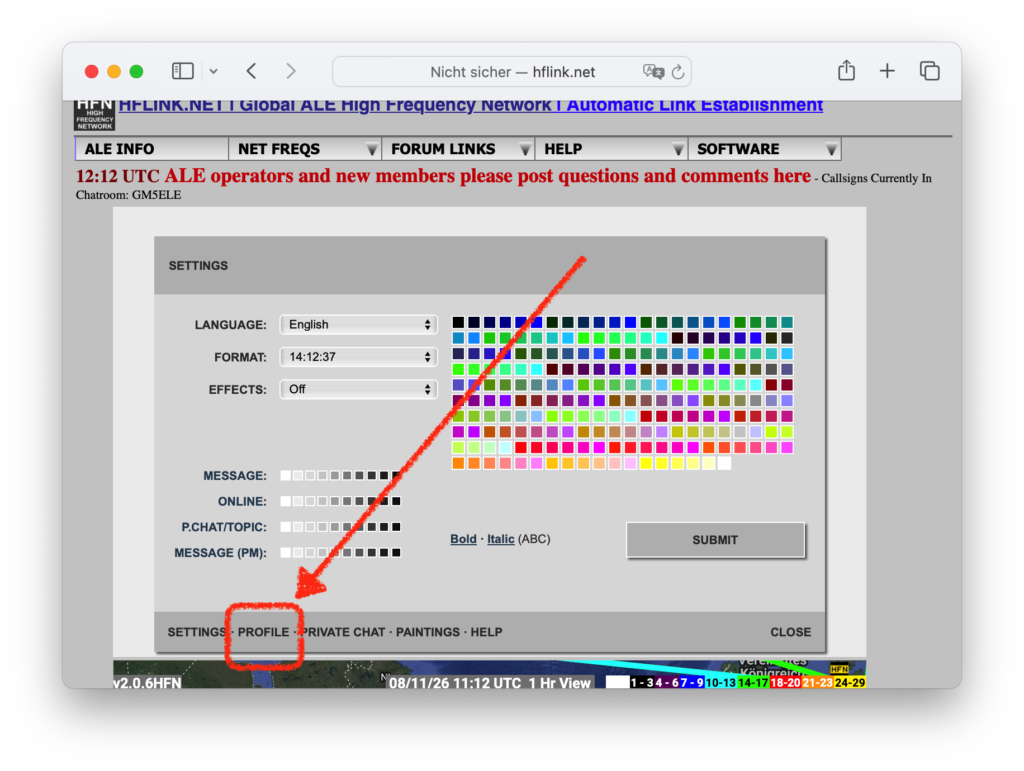
Now click on PROFILE in the dark gray bar at the bottom.
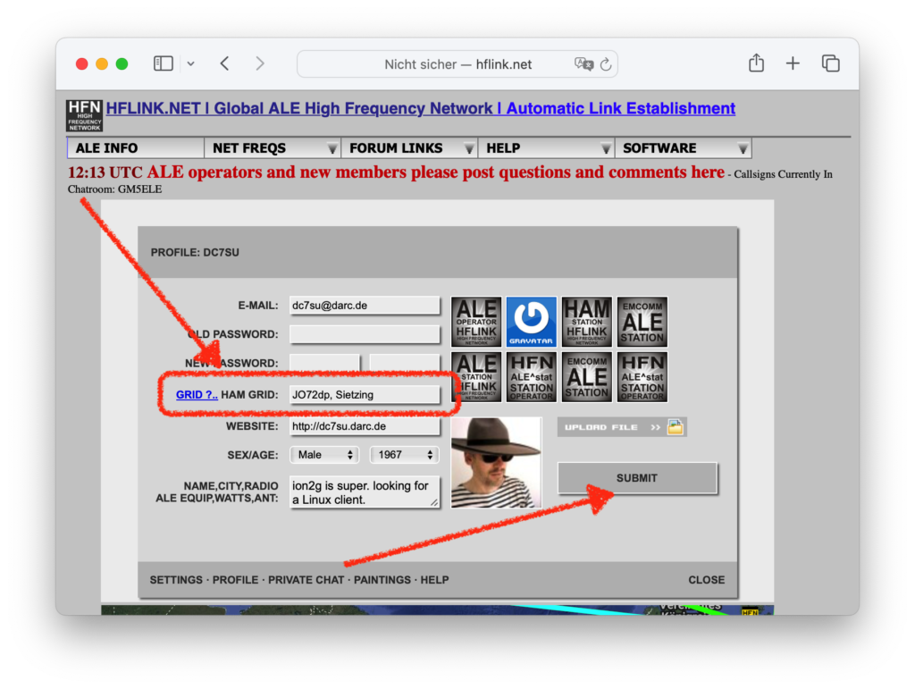
Now you can enter a Maidenhead locator at HAM GRID: Optionally the place name after a space; any string, maximum 9 bytes long.
By the way: grid.radio from Rose, M1RXO, offers a nice way to determine your locator.
Now, don’t forget to click the SUBMIT button.
Mobile-View
Here, too, go to the landing page (?) hflink.net, where you can see the chat window. Click on the stack of three squares above that window:
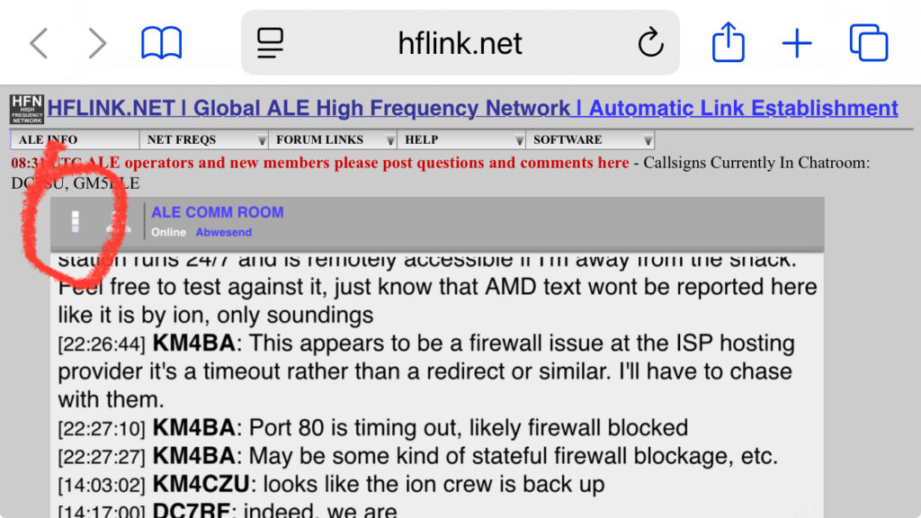
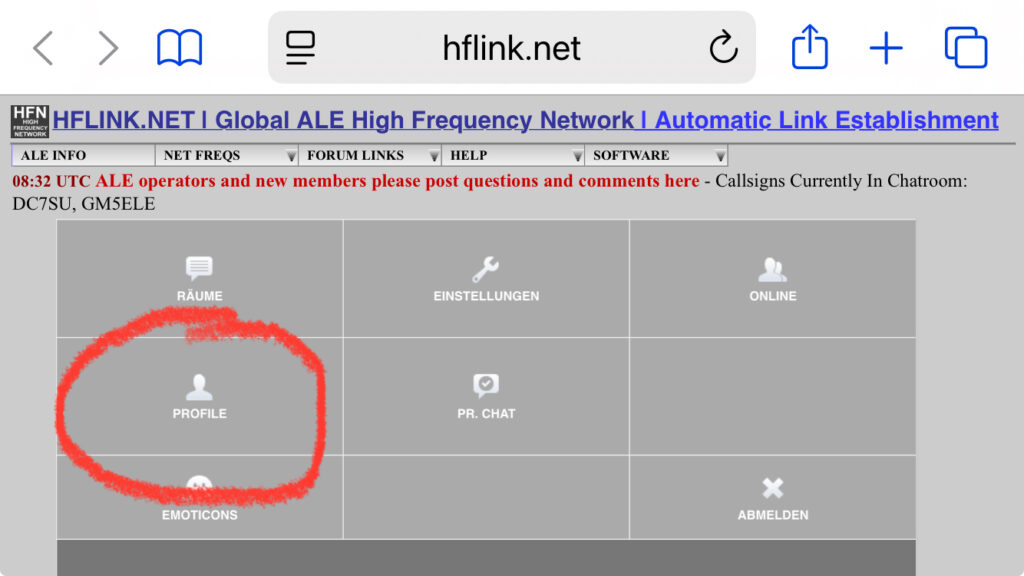
Click PROFILE now:
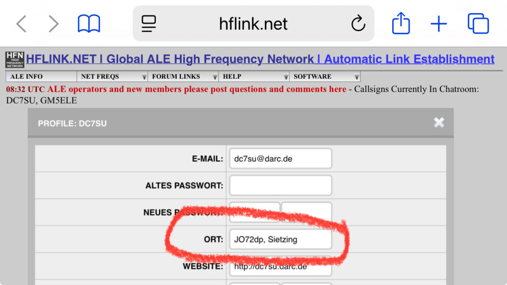
And then enter the locator that you determined at
grid.radio by Rose, M1RXO.
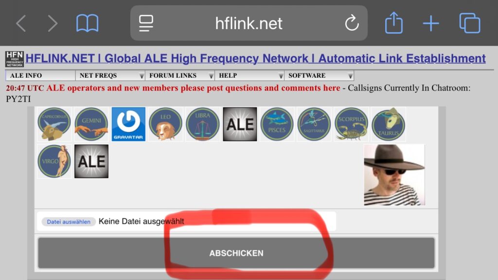
Then scroll all the way to the bottom of the profile frame and click SUBMIT.
Deixe um comentário